


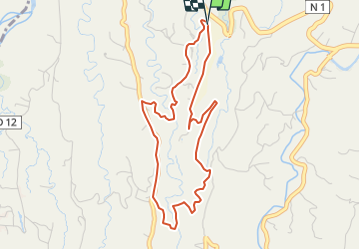

8.7 km | 12.8 km-effort


User GUIDE


FREE GPS app for hiking
 SityTrail
IGN / Geographical institutes
SityTrail World
The world is yours!
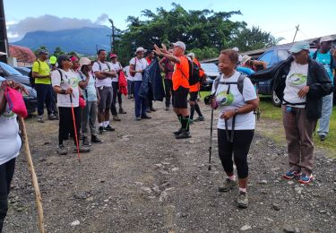
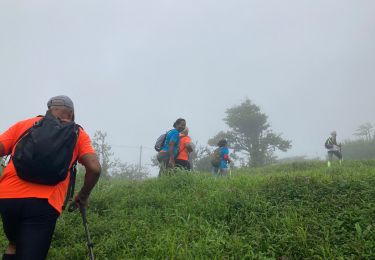
Trail Walking of 6.2 km to be discovered at Martinique, Unknown, Le Lorrain. This trail is proposed by Lamartiniere.
Ouverture saison randonnée 2023/2024
Public : Séniors et autres
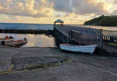
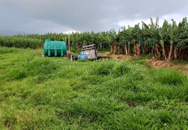
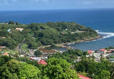
Connaissance quartiers du Lorrain et botanique.
Nécessite autorisations de passages.

Walking
Walking
Walking

Walking
Walking

Walking

Walking
Walking
Walking